New Features
- The new Longitudinal Section tool allows users to view and measure models and other data along a selected alignment.
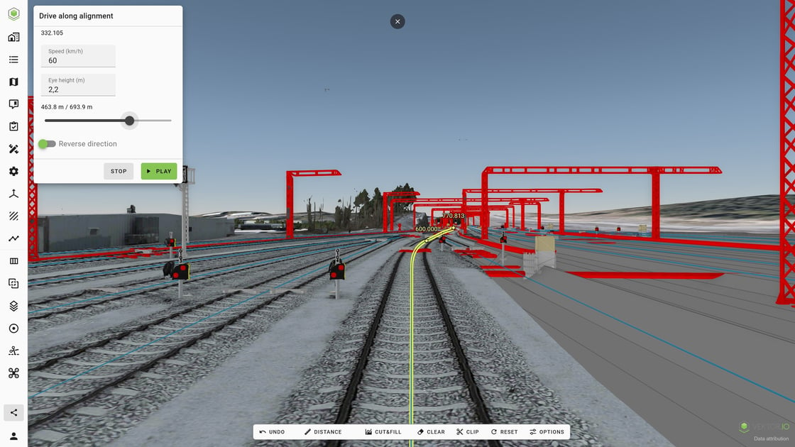
- Drive Along Alignment allows users to move along any visible alignment directly in the 3D view. Users can adjust the eye height and speed and move along the alignment in both directions. The tool can be accessed from the alignment shortcut menu.
- WMS and WMTS map services can now be added from the Maps tab.
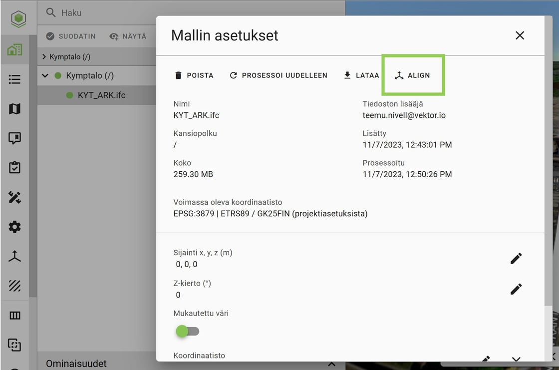
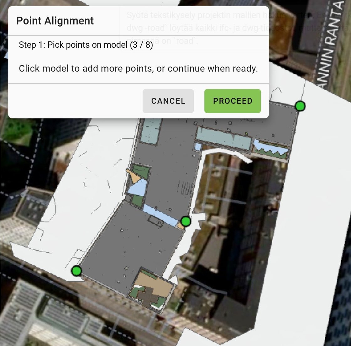
- The Align tool allows data to be georeferenced directly in Vektor.io using 3–8 known reference points. The tool is located in Model Settings.
Fixes and Improvements
Updates were made to improve the functionality and reliability of surface models.